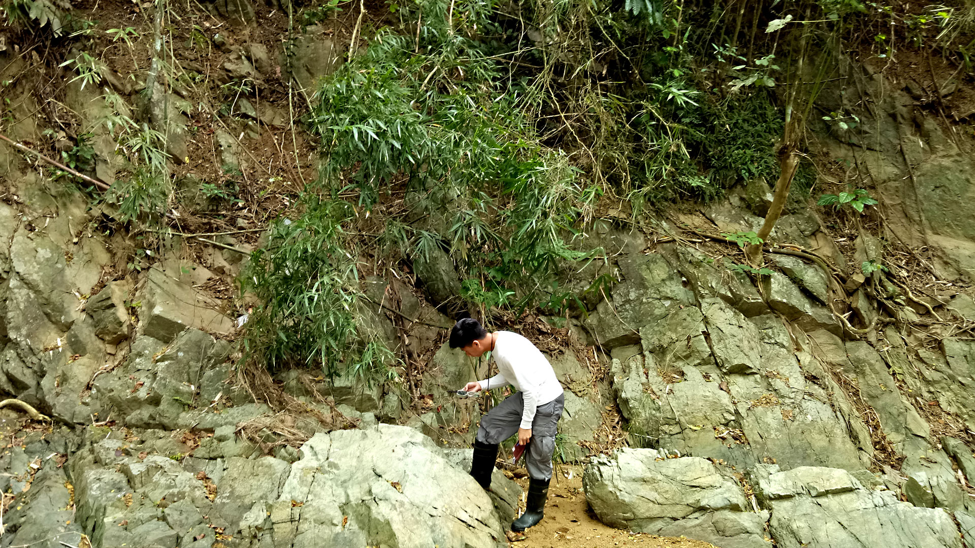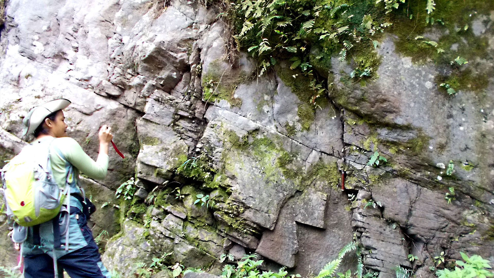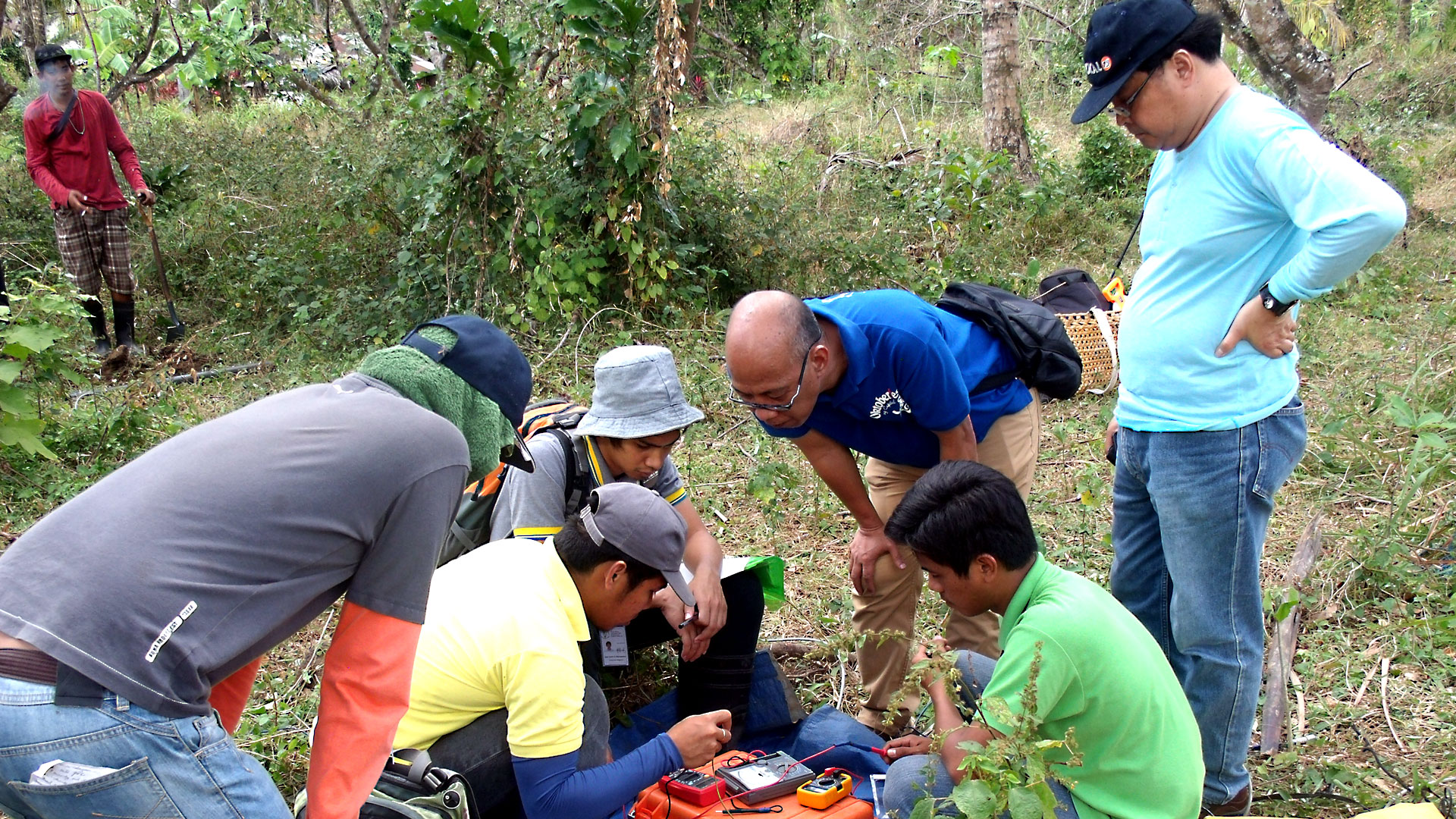
The San Juan Project is located along the San Juan fault zone in the province of Batangas, which is around 108 kiometers south of Manila. Batangas is bordered by Cavite and Laguna in the north and Quezon to the east. Together with the province of Rizal, these 5 provinces make up the CALABARZON. The San Juan project occupies 26,730 hectares, sprawled over the municipalities of Lobo, Rosario, San Juan and Taysan in Batangas as well as Candelaria and Tiapog in Quezon. San Juan, which is a first-class municipality in the easternmost part of Batangas, is accessible via Lipa City, Ibaan and Candelaria by road. It is subdivided into 42 barangays (small administrative districts).
Geologic Setting
The San Juan contract area is located along the San Juan fault zone on the NE flank of the Batangas Range, exhibiting maximum temperatures of less than 200°C with the potential to sustainably produce 15-35 MW of electrical power. Although potentially smaller, of special interest is the shallow resource, thereby requiring much less investment in drilling, whether deep slim hole or production wells. This will more than compensate for the smaller capacity and the higher cost of a binary geothermal power plant (versus traditional flash system).
Project Background
It conducts lower drilling costs. It is a perfect match for the growing power requirements of San Juan due to an increased hotel and resort development along the coast of Batangas. Its estimated distance from Metro Manila is 140 kms.


